Send an E-Postcard of:
"Charlemont"
(c) Pocumtuck Valley Memorial Association, Deerfield MA. All rights reserved.
Contact us for information about using this image.
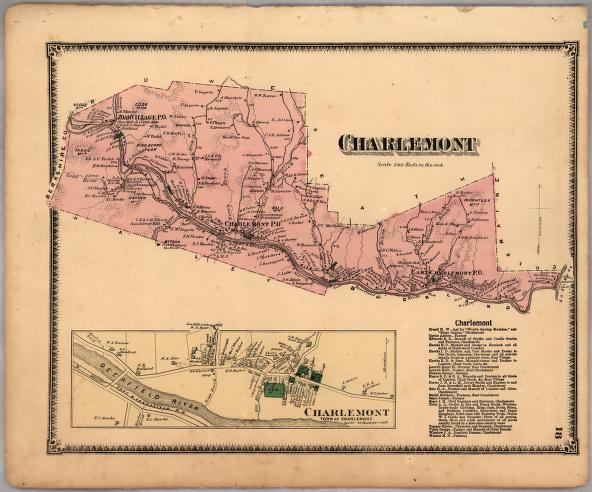
In 1871, Charlemont, Massachusetts, was waiting for the completion of the Hoosac Tunnel to finally allow traffic to pass along the Troy & Greenfield railroad running through its town. But even though the tunnel was completed in 1875, not a large amount industry came to Charlemont. Instead, the town gained some commerce by being the transit stop for produce and goods from nearby towns. The nearby town of Shelburne Falls instead became the regional manufacturing center, as the Deerfield River's fast-flowing stream was more readily harnessed at the natural dam the falls represented. Charlemont's character as a transit point, though, is readily seen on this map, as the two major forms of transport - the rail line and the road later known as the Mohawk Trail - run along its length.
top of page
|
|


