

Advanced Search
| Online Collection |
|
||||||||||||||||||||||
|
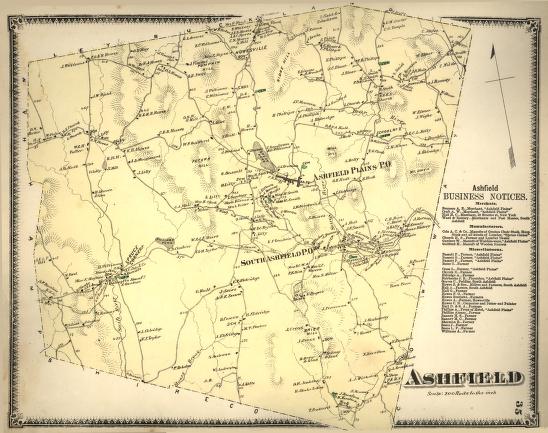
Ashfield Plains was the commercial center of the town of Ashfield, Massachusetts, but other distinct communities also arose. In the northern part of town was Howesville, named for the Howes family whose homes were distributed throughout the region. In 1871, despite a short growing season and difficult and rocky terrain, most families in Ashfield were still making a living by farming. The Business Notices on the side of the map, however, indicate that some had chosen to work with another natural resource, the forest, manufacturing lumber, chairs, and faucets.
|
"Ashfield"
|
| |
Home | Online Collection | Things
To Do | Turns
Exhibit | Classroom | Chronologies | My
Collection
About This Site | Site Index | Site Search | Feedback


