icon for Home page
icon for Kid's Home page
icon for Digital Collection
icon for Activities
icon for Turns Exhibit
icon for In the Classroom
icon for Chronologies
icon for My Collection

Online Collection

document
(c) Pocumtuck Valley Memorial Association, Deerfield MA. All rights reserved.
Contact us for information about using this image.


label levels:

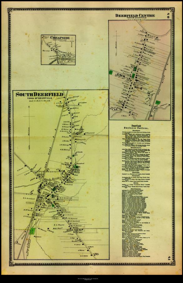
Although agriculture remained central to Deerfield's economy, these detailed maps of the Town's population centers indicate the variety of commercial activity in the area. Tobacco sheds, small factories, stores, and hotels all appear on the map. An extensive list of business notices provides additional information on the individuals engaged in farming, manufacturing, and retailing, or services such as physicians. The maps not only indicate the names of homeowners, but they also show the footprints, or outlines, of the buildings in the villages.


top of page

"Deerfield Centre/South Deerfield"

publisher   F. W. Beers and Company
date   1871
location   New York
height   24.5"
width   16.0"
process/materials   lithograph, paper, ink, watercolor
item type   Maps/Cadastral
accession #   #L98.005


Look Closer icon My Collection icon Detailed info icon


ecard icon Send an e-Postcard of this object


See Also...

"Plan of Deerfield in the County of Franklin from Actual Survey"

Mt. Sugarloaf

Arms Manufacturing Company workers


button for Side by Side Viewingbutton for Glossarybutton for Printing Helpbutton for How to Read Old Documents


Home | Online Collection | Things To Do | Turns Exhibit | Classroom | Chronologies | My Collection
About This Site | Site Index | Site Search | Feedback