

Advanced Search
| Online Collection |
|
||||||||||||||||||||||
|
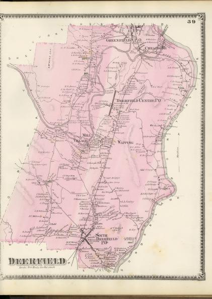
Maps serve a variety of purposes; this map records land ownership as shown by the names of individuals next to the structures they own. Maps such as this of Deerfield, Massachusetts, served as a visual town directory produced for a local audience that would have used them to locate individuals or businesses. Today these maps help us understand settlement patterns, as we can readily see the relationship between roads, natural features, and man made structures.
|
"Deerfield"
|
| |
Home | Online Collection | Things
To Do | Turns
Exhibit | Classroom | Chronologies | My
Collection
About This Site | Site Index | Site Search | Feedback


