

Advanced Search
| Online Collection |
|
|||||||||||||||||||||
|
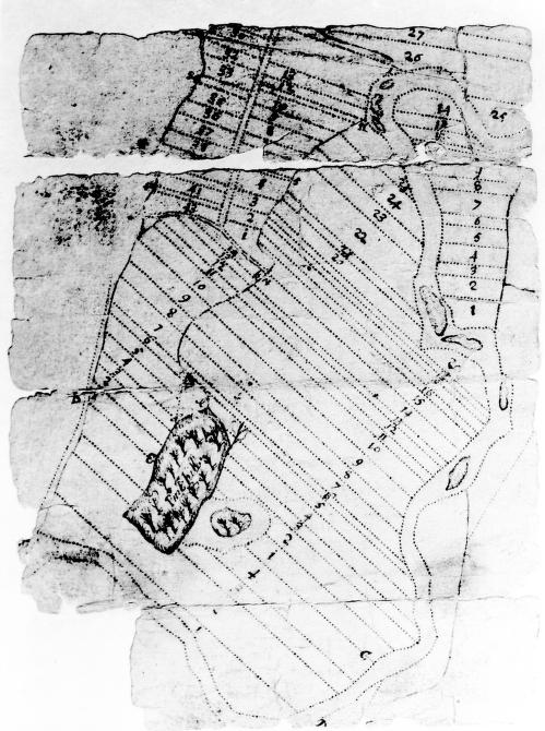
Fragment of an early survey of Deerfield, Massachusetts, showing the layout of numbered lots along the main street. The block of land south of Lot 13 was "sequestered for the ministry," later used as the training field and town common. The map is oriented with south at the top. Away from the street, field and wood lots are numbered to correspond to the house lots. The common field fence, laid out in c. 1685, can be seen as a dotted line around the outer edge of the map. The linear town plan is characteristic of towns in the Connecticut River Valley.
|
Lot Survey of Deerfield
|
| |
Home | Online Collection | Things
To Do | Turns
Exhibit | Classroom | Chronologies | My
Collection
About This Site | Site Index | Site Search | Feedback


