icon for Home page
icon for Kid's Home page
icon for Digital Collection
icon for Activities
icon for Turns Exhibit
icon for In the Classroom
icon for Chronologies
icon for My Collection

Online Collection
Select a page:

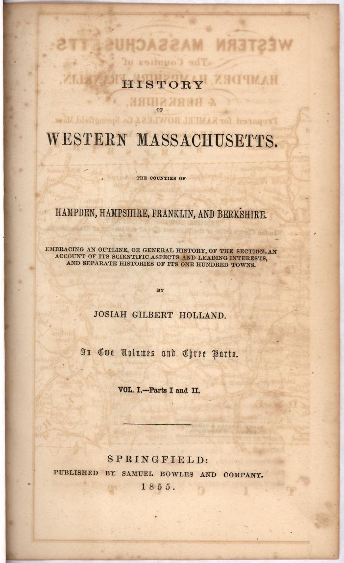
Volume 1 - Title page
(c) Pocumtuck Valley Memorial Association, Deerfield MA. All rights reserved.
Contact us for information about using this image.


label levels:

This map is the frontispiece from "History of Western Massachusetts" and shows in color Hampden, Hampshire, Franklin and Berkshire counties and also includes part of southern Vermont. This map can be used to trace the beginning of the northern route taken by the Native Americans and captives after the 1704 raid in Deerfield, Massachusetts.


top of page

Map of Western Massachusetts from History of Western Massachusetts

publisher   Samuel Bowles and Company
author   Josiah Gilbert Holland (1819-1881)
date   1855
location   Springfield, Massachusetts
height   7.25"
width   9.75"
process/materials   printed paper, ink
item type   Maps/Cadastral
accession #   #L04.006


Look Closer icon My Collection icon Transcription icon Detailed info icon


ecard icon Send an e-Postcard of this object


See Also...

"The Boy Captive of Old Deerfield" excerpts

"Map of New-England"


button for Side by Side Viewingbutton for Glossarybutton for Printing Helpbutton for How to Read Old Documents


Home | Online Collection | Things To Do | Turns Exhibit | Classroom | Chronologies | My Collection
About This Site | Site Index | Site Search | Feedback